Land Surveying
- Since 1980
- Over 150 Years of Combined Experience
- Always On Time and Within Budget
- Since 1980
- Over 150 Years of Combined Experience
- Always On Time and Within Budget
Land Surveying Experts
Fittz & Shipman Inc understands the importance of accuracy and precision in land surveying. We employ registered professional land surveyors, utilize state-of-the-art surveying equipment and software, and have the experience and background necessary to always perform outstanding land surveying.
We are firmly committed to serving the Southeast Texas community as we have been doing for over 40 years, and we are proud to be able to do that in part by physically mapping and surveying the area.
The Land Surveying Process
Before any engineering or construction project can begin it is crucial that property ownership and land boundaries be meticulously determined. To do this, our engineers perform land surveying.
Land surveying is the process of conducting a highly detailed, thorough inspection of an area by gathering information about the three-dimensional location of points as well as the distance and angles between them.
This allows land surveyors to establish a land map of points on the surface of the Earth as well as their corresponding positions beneath the Earth.
Accurate Land Surveying
Accuracy is critical for land surveying. Our land surveyors typically employ elements from many different advanced disciplines to help us calculate land ownerships, including: trigonometry, geometry, physics, engineering, and even law.
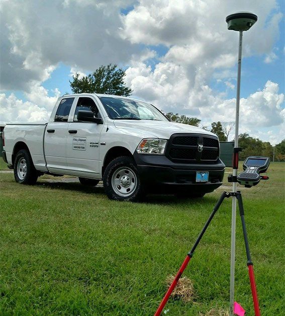
To gather and apply this complex data, our engineers use tools such as land surveying total stations, digital levels, GPS receivers, radio communicators, prisms, 3D scanners, hand-held tablets, and advanced surveying software.
The purpose of these sophisticated tools and the careful application of those advanced studies is to yield the most accurate, precise land surveying results possible.
Various Types of Land Surveys
Fittz & Shipman Inc offers high-quality, highly accurate land surveying as part of our core services. We perform an array of land surveying services including land title surveys and construction staking as well as platting, elevation certificates, and topographic surveys. Our land surveys will also assist with the obtaining of key permits such as crossing permits, easements, rights-of-way as well, and land maps and plats.
- A.L.T.A. / A.S.C.M. surveys
- Boundary surveys
- Construction staking
- As-built surveys in place of land ownership maps
- Mortgage surveys
- Topographic surveys
- Elevation certificates
- Plats
- Crossing permit applications
Learn More About
Fittz & Shipman Inc

Share On: